
Land and Building Information Required for Project Design – How the Process Works in Antalya
At the core of every construction project lies accurate and complete information. For architects, engineers, and investors, land and building data play a critical role in the project design process. These details impact not only the design but also the permit, approval, and implementation stages. Especially in a developing region like Antalya, project design requires strict compliance with local regulations.
1. Why Are Land Details Important?
Land information defines the physical and legal boundaries of the project to be designed. A poorly analyzed plot can lead to serious errors and delays. In Antalya, it is mandatory to work in alignment with municipal zoning systems. Therefore, the following data must be collected:
Title Deed Information
-
Parcel number
-
Block number
-
Ownership status (private, shared, public, etc.)
-
Land area
Zoning Status Document
-
Floor Area Ratio (FAR) and Building Coverage Ratio (BCR)
-
Number of floors allowed
-
Building setback distances
-
Land use type (residential, commercial, industrial, etc.)
Especially in Antalya architectural project drawing processes, conformity to the region’s zoning plan is the first criterion checked.
Soil Survey Report
-
Soil classification
-
Load-bearing capacity
-
Seismic risk and geological structure
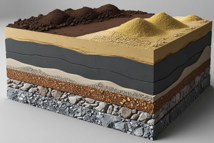
In Antalya structural (static) project drawing services, this report is a fundamental document that determines building safety.
Land Slope and Orientation
-
Slope of the land
-
Sunlight and prevailing wind direction
-
Areas at risk for water accumulation or natural disasters
2. What Does Building Information Include?
The features of the structure to be designed in harmony with the land are also critically important for project planning. In Antalya project design services, the building function, intended use, and technical infrastructure needs are carefully evaluated.
Type and Function of the Building
-
Residential, office, hotel, factory, social facility, etc.
-
Single-use or mixed-use (multi-purpose) projects
Dimensions and Areas
-
Floor height
-
Gross/net area calculations
-
Basement, ground, standard, and roof floor plans
Technical Infrastructure Requirements
-
Connection points for electricity, water, natural gas, and sewer systems
-
Mandatory features such as fire escapes, elevators, and parking areas
Landscaping and Site Arrangements
-
Green area planning
-
Garden and boundary wall details
Required Documents List
For Antalya architectural project drawing and Antalya static project drawing services, the following documents are typically required by local municipalities:
-
Copy of title deed
-
Zoning status document
-
Soil survey report
-
Cadastral sketch (Röperli kroki)
-
Application sketch (Aplikasyon krokisi)
-
Road elevation certificate
-
Photos of surrounding buildings
Conclusion
Collecting accurate land and building information before starting a project forms a solid foundation not only for design but for the entire construction process. Projects developed with correct data benefit from significant time, cost, and legal advantages.
If you are looking for professional support for project design in Antalya, including architectural project drawings or static project drawings, our expert team at Efil Construction is ready to assist you. From turnkey solutions and interior design to 3D visualization services, we turn your vision into reality.
Efil Construction
LATEST NEWS
-
 April 30, 2026
What Is a Bored Pile?
-
 Foundation?") March 28, 2026
March 28, 2026What is a Raft (Radye) Foundation?
-
 December 21, 2025
Why Is Concrete Quality Critically Important?